Extreme El Niños are coming. Reaching net zero sooner means facing fewer of them
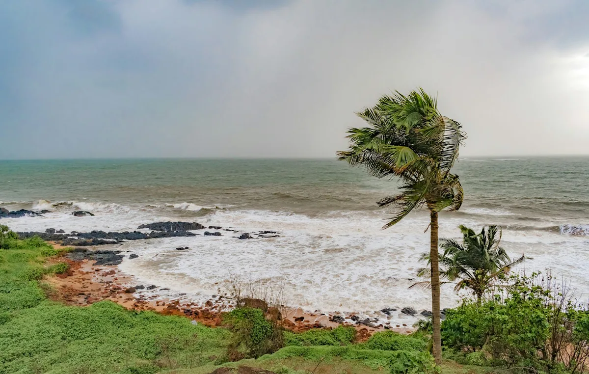
Ashish Kumar/Getty The world is on the cusp of an historic El Niño , a climate pattern centred in the Pacific that could reshape weather across the planet.
El Niño is hardly a new phenomenon, but forecasts indicate the coming one could be the biggest ever recorded.
Research suggests extreme El Niño years will become more common as the world rapidly warms, driven by humanity’s greenhouse gas emissions .
Our new research examines the reasons why El Niño is changing, and how this climate pattern may evolve if we reach our net zero goals.
Our findings suggest extreme El Niños will become more common if we remain reliant on fossil fuels, but reaching net zero earlier should limit how often they occur.
Shaping global weather El Niño has long influenced weather across the globe by driving variations in temperature and rainfall beyond the Pacific Ocean.
Here are several exceptional examples.
In 1982, a strong El Niño dumped vast volumes of rain on South America, with some rivers in Peru filled with 1,000 times more water than usual.
On Kiritimati island (part of Kiribati in the central Pacific), heavy rainfall flooded seabird nests and caused entire colonies to vanish.
Meanwhile, southeast Australia was crippled by drought , culminating in the Ash Wednesday fires that claimed 75 lives.
The El Niño of 1998 carried enough rain to fill a new lake three metres deep in Peru’s Sechura Desert, one of the driest places on Earth.
With it came record numbers of mosquitoes and widespread malaria .
In Indonesia, months of severe drought allowed devastating forest fires to burn for weeks.
In 2016, a strong El Niño coupled with already warming oceans triggered the bleaching of more than two-thirds of the Great Barrier Reef .
5News aggregated this summary from the outlet’s public feed. The full article, with all the context, is on theconversation.com — the content belongs to The Conversation Australia.