China conducts marine geophysical survey east of Taiwan Island
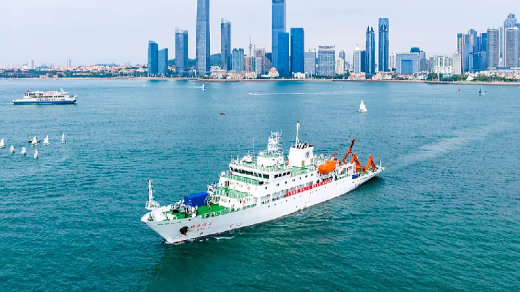
China has conducted an integrated marine geophysical survey in waters under its jurisdiction east of the island of Taiwan, according to the Ministry of Natural Resources.
The survey was carried out from August 10 to 31 by the Second Institute of Oceanography under the ministry to improve the understanding of the basic geology and seafloor structures of the area.
It collected data on seafloor topography, sedimentary layers, deep geological structures and geophysical fields.
Researchers used multiple methods, including multibeam mapping, multichannel seismic surveys, ocean-bottom seismic observations, as well as gravity and magnetic surveys.
The data will support further research into seafloor sediments, geological structures, deep crustal structures and tectonic evolution in waters east of the island of Taiwan, while providing scientific support for the comprehensive management of waters under China's jurisdiction, the ministry said.
此摘要由5News从媒体的公开信息源汇聚而成。 包含完整背景的全文在www.cgtn.com — 内容归CGTN Tech & Sci (oficial)所有。