China’s radar satellites capture sharp images of glacier collapse site in Nepal
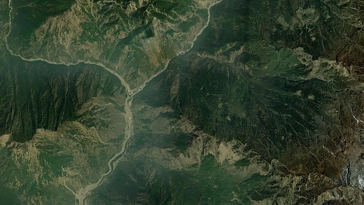
Within hours of a devastating glacier collapse on the China-Nepal border, a Beijing-based satellite company had already redirected six of its satellites to survey the disaster zone.
The high-resolution radar images they captured revealed a massive collapse site near a remote mountain pass.
Unlike optical sensors, radar signals can pierce through haze and cloud, mapping terrain changes with high precision even in the rugged Himalayan plateau.
The swift commercial response also underscores a...
此摘要由5News从媒体的公开信息源汇聚而成。 包含完整背景的全文在www.scmp.com — 内容归South China Morning Post - China所有。