The geography of India’s Partition
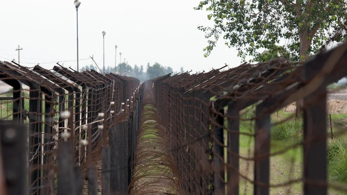
The division of the country in 1947 was as much a failure of geographical certainty as it was a political compromise; the Boundary Commission struggled with contested maps, unclear data, and competing demands of territorial contiguity and demographic realities
5News aggregated this summary from the outlet’s public feed. The full article, with all the context, is on www.thehindu.com — the content belongs to The Hindu.