Glacier break or earthquake? What triggered the Nepal floods? | Explained
Account subscription benefits alongside Premium Stories, Editorials, Opinions and more. Unlock these with Subscription
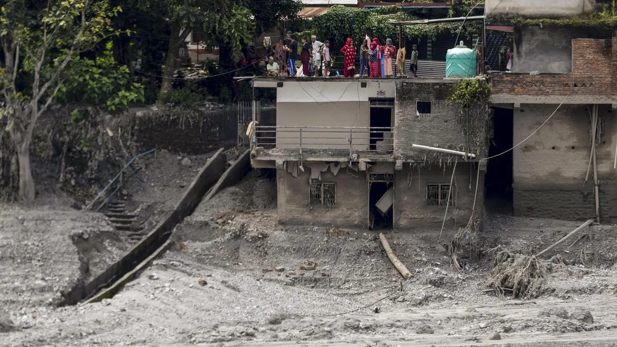
People gather on the roof of a precarious house after flash floods, at the Devighat in Bidur, Nuwakot, Nepal, Aug. 27. | Photo Credit: PTI
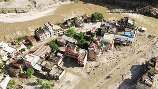
The story so far: A devastating flash flood in the Bhote Koshi–Trishuli river system has killed at least 389 people in Nepal and three in Tibet, while more than 1,400 people are reported missing. Hundreds of people have been displaced in affected districts including Rasuwa, Nuwakot, Dhading, Gorkha and Chitwan No deaths have been reported in India so far, but 288 Indian nationals in Nepal remain uncontactable, with 84 Indians rescued and authorities in Bihar and Uttar Pradesh monitoring downstream flood risks. Roads, bridges, homes and hydropower infrastructure have been destroyed, and search, rescue and relief operations are under way.
The evidence now points to a large collapse of ice and rock high in the Himalayas near Langtang Lirung , rather than heavy rainfall. A mass of glacier ice, rock and debris appears to have detached at about 5,200 metres and fallen roughly 1,200 metres into the Lhende Khola system by momentum, gathering more rock, sediment, ice and water and morphing into a fast-moving debris flow. The rubble temporarily blocked the river and the resulting surge then travelled downstream through the Bhote Koshi and Trishuli systems, affecting communities nearly 100 km away.
ALSO WATCH Before & after: Satellite images reveal Nepal flood devastation
Seismological instruments detected a strong ground signal at about 8.37 a.m. on August 26. It was initially interpreted as an earthquake of roughly magnitude 4.4. Because the flood followed almost immediately, the natural explanation was that an earthquake had shaken loose a landslide or glacier, which then blocked the river.
That interpretation has since changed. Analysis by the U.S. Geological Survey (USGS) found that the seismic signal originated in a glaciated mountain cliff and was generated by the collapse itself. A second seismic event, about three hours later, produced energy equivalent to a magnitude-4.2 earthquake. A preliminary assessment by the National Remote Sensing Centre (NRSC) of ISRO provides important evidence about the origin of the Nepal floods. NRSC compared a pre-event Sentinel-2 image from August 24 with a post-event Resourcesat-2A image acquired on August 26, as well as with an earlier Resourcesat-2A image from April. It provides independent visual evidence of a major physical change at the suspected source area, complementing the seismic evidence that places the ground-vibration source in a glaciated mountain cliff on the north side of Langtang Lirung. However the precise mechanics of the collapse are still being reconstructed.
A seismometer does not identify an earthquake by itself. It records ground vibrations. Earthquakes are the most familiar source, but large landslides, volcanic eruptions, explosions and glacier collapses can also shake the ground.
The magnitude figure therefore describes the size of the seismic energy recorded, not necessarily the cause.
5News aggregated this summary from the outlet’s public feed. The full article, with all the context, is on www.thehindu.com — the content belongs to The Hindu.