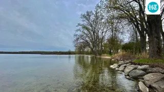
In 1999, Florida began restoring the Kissimmee River, a project that aims to reconnect 44 miles of channel and restore 20,000 acres of wetlands
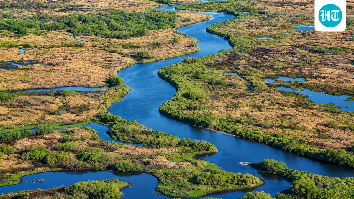
Rivers are meant to bend. For decades, one in Florida couldn't. The Kissimmee River once wound its way for about 103 miles through the middle of the state, until it was straightened into a flood-control canal in the 1960s. Then Florida undertook an unusual restoration project to repair the damage. According to a 2007 paper by Bousquin and colleagues, Phase I of the project, finished in 2001, filled about 7.5 miles of the canal and restored flow to about 15 miles of the old river channel. That's how the plan came together and what scientists have found since.
The canal reduced flooding, but it came with a cost that no one planned for. It cut the river off from its floodplain, destroying wetlands and damaging the ecosystem along the river. Birds, fish, and other wildlife dependent on those wetlands began to decline. The concept of restoring the river first arose in 1976. Congress authorized the project in the Water Resources Development Act of 1992. Then, in 1994, the South Florida Water Management District and the U.S. Army Corps of Engineers agreed to share the cost equally. The aim was to fill in 22 miles of the C-38 canal and reconnect 44 miles of river channel so water could flow more as it did in the past.
The concept is simple. Crews fill sections of the canal with dirt. This pushes water back into the old meanders of the river, and the water spreads out over the floodplain again. The job is a lot harder than it sounds. Work started in 1999 with the first stretch of backfill and has continued in stages for more than two decades. In July 2021, the U.S. Army Corps of Engineers and the South Florida Water Management District marked the end of construction with a ribbon-cutting. According to the South Florida Water Management District, crews backfilled the full 22 miles of canal. The project restored 44 miles of the historic river channel and more than 40 square miles of river-floodplain ecosystem, which includes about 20,000 acres of drained floodplain turned back into wetlands. Even so, finishing construction was not the end. Scientists are still watching the river to see how it responds.
The 2007 team took measurements beforehand and afterward. They looked at the flow of water, the shape of the channel, oxygen levels, plants, insects, fish, and birds. The paper reported initial responses, comparing what scientists had predicted with what they actually measured.
Plants have a story to tell as well. In their 2014 study published in Restoration Ecology , Spencer and Bousquin compared vegetation maps from aerial photographs taken in 1954, 1974, 1996, 2003 and 2008. They focused on a section of the floodplain that was re-wetted between 1999 and 2001. Floodplain coverage with wetland plants in that section ranged from 65% to 83% after rewetting. Before rewetting, that figure was 22% to 37%. Before the canal in 1954, it was 84%. But the recovery was not perfect. Most of the new shrubby wetland was dominated by the invasive Peruvian water primrose, which was not a natural part of the river.
5News aggregated this summary from the outlet’s public feed. The full article, with all the context, is on www.hindustantimes.com — the content belongs to Hindustan Times - World.