In Kenya, a tree planted to halt desertification has reportedly spread across 2 million hectares; experts say about 75% of the country is at risk
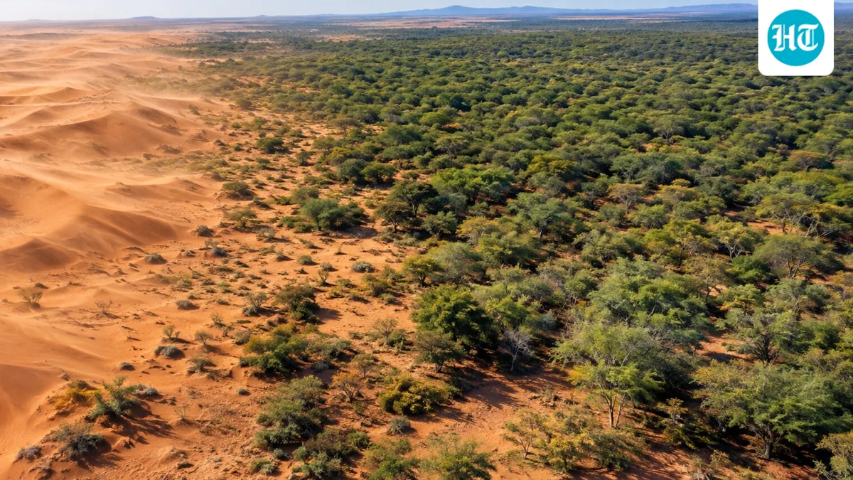
We have all been there where we tried solving one problem but created a much larger one. That is what has happened in parts of Kenya. The mathenge tree was planted to hold back desertification. According to a study by Mbaabu and colleagues published in Remote Sensing , the tree's coverage in the lowlands of Baringo County rose from 882 hectares in 1988 to 18,792 hectares in 2016. For herder John Lmakato, the spread of mathenge trees indirectly cost him most of his livestock, as he tells it.
John Lmakato lives at Lerata, a village at the base of Mount Ololokwe in Samburu County. He recalls a time when the rangelands were covered with grass, and his animals roamed free. Now, he says, the land is overgrown with mathenge trees and cattle cannot eat them. And so his animals had to travel farther for grass. A few years ago, his cattle wandered into a conservation area in Laikipia, an area known for conflicts over land access between Indigenous pastoralists and commercial ranchers. He lost 193 cattle. Only seven of the 200 he once owned are still around. Some of his cows, he says, were shot dead. The trees did not kill the animals directly; the search for grass is what pushed his herd into that conflict zone.
The mathenge tree, scientifically known as Prosopis juliflora (now Neltuma juliflora), is native to the Americas. It spread all over East Africa in the 1970s. It was regarded as a solution to creeping desertification, providing tree cover, soil protection, fuel, and animal feed. The UN Food and Agriculture Organization and the Kenyan government encouraged planting it.
In the Mbaabu study, the tree was introduced in Baringo district in the 1980s. Researchers analyzed Landsat satellite images taken every seven years from 1988 to 2016. Its cover increased from 882 to 18,792 hectares, more than 20 times its original size. The study's satellite record ends in 2016, so these figures do not show the tree's current spread. They also found the tree responsible for over 30% of the negative land cover changes in the study area. The authors describe it as a key driver of those changes.
The Kenya Forestry Research Institute estimates that mathenge has encroached on about 2 million hectares across Kenya, spreading by up to 15% a year. Modeling by researchers puts the invaded area lower, at 7,000 to 12,000 square kilometers (0.7 to 1.2 million hectares), so estimates differ. The damage goes beyond lost grass. Many animals die after feeding on the weed. Mathenge has sharp thorns that can injure animals’ feet, and its seeds can damage their teeth. Its deep roots, which can reach up to 35 meters underground, deprive other plant life of water. For families dependent on livestock, these problems add up fast.
University of Bern researchers estimate that about three-quarters of Kenya, roughly 450,000 of 580,000 square kilometers (closer to 77 percent by those figures), has conditions suitable for mathenge. Risk does not mean the tree already grows everywhere; it means conditions there could support it. A 2020 Ecosphere study by Eckert and colleagues points in a similar direction.
5News aggregated this summary from the outlet’s public feed. The full article, with all the context, is on www.hindustantimes.com — the content belongs to Hindustan Times - World.