When will El Nino hit California? Forecast for San Diego, LA and other cities
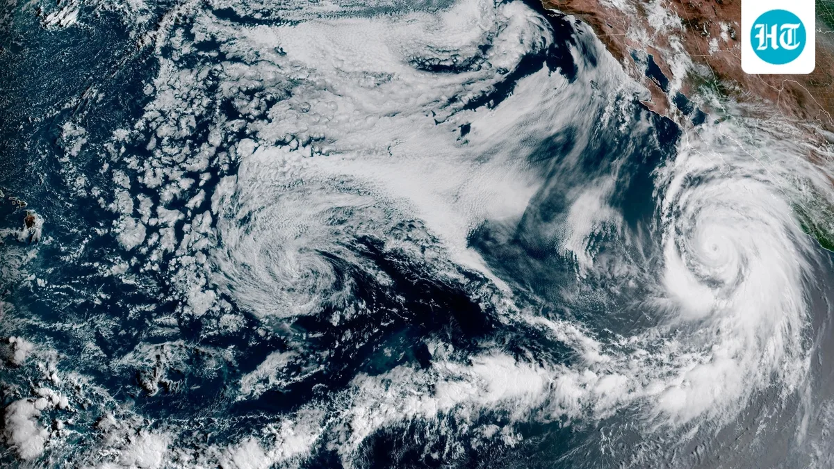
California is preparing for a potentially historic El Nino , which is already showing record-breaking strength. Scientists say the event could have a major effect on the state's winter weather , with a higher chance of heavy rain, storms and flooding .
As per SF Chronicle , the 2026-27 El Nino is close to record territory. Scientists are now more sure that it will have a big effect on California rain and snow.
According to the SF Chronicle, the North American Multi-Model Ensemble forecasts above-normal rain across California from December through April.
The European Center for Medium-Range Forecasts says San Francisco and other parts of California could get twice as much rain as normal from December through at least February.
Some of the models predict drier conditions, but most of them show above-normal rainfall.
Emily Becker, a seasonal prediction expert at the University of Miami, said winter rain forecasts are unlikely to change much until November, as per the SF Chronicle. She said other weather patterns cannot be predicted more than a few weeks ahead. However, this very strong El Nino could reduce the influence of those other weather patterns.
Also read: Old Farmer's Almanac weather forecast for September 21-30: What weather will the US see?
According to the SF Chronicle, the location of the warm water in the Pacific plays an important role. El Nino events with the warmest water near South America are more strongly linked to heavy rain in California than those with warm water in the middle of the Pacific.
John O'Brien, a climate scientist at the Heising-Simons Foundation, said, “The odds of an average winter are very low.”
When the water near South America is unusually warm, thunderstorms become stronger in the eastern Pacific. This can push the jet stream in a way that sends more moisture toward California. If the thunderstorms move west, the jet stream moves north over Oregon and Washington state.
Right now, the warmest water is near South America. The same pattern was seen during the strong El Nino events of 1982-83 and 1997-98, when California received huge amounts of rain.
In those years, "California just got smacked all up and down the state," O'Brien said.
This year, the warm water is even farther east and could stay there through the winter.
However, two other very strong El Nino events, in 1991-92 and 2015-16, were drier in California. During those events, the warm water was located more toward the middle of the Pacific.
5News aggregated this summary from the outlet’s public feed. The full article, with all the context, is on www.hindustantimes.com — the content belongs to Hindustan Times - World.