When the floodgate must open in Keralam
Account subscription benefits alongside Premium Stories, Editorials, Opinions and more. Unlock these with Subscription
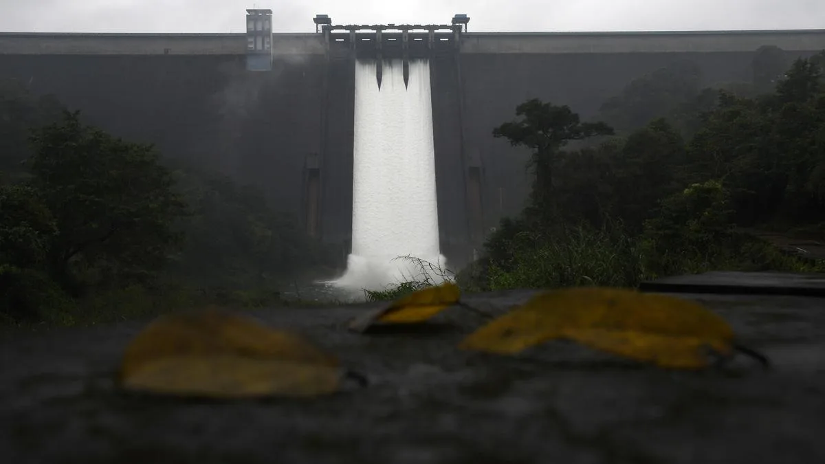
‘Keralam’s next technological leap in flood management may therefore be less about generating more data and more about making the data it already possesses work together’ | Photo Credit: THE HINDU/VIBHU H.
At the height of an extreme rainfall event, an officer managing a reservoir in Keralam may have to decide whether, when, and how much water to release. The reservoir level is displayed on the screen before him. But much of the other information relevant to that decision may be held in different systems and by different institutions.
That, in a single image, captures an important part of Keralam’s flood-management challenge. The question is increasingly not whether the State of Keralam has data, but whether the right pieces of information can be brought together quickly enough to support timely and informed decisions.
Keralam has considerably greater monitoring capability today than it did in 2018 (a year of severe flooding in the State). The Kerala State Disaster Management Authority (KSDMA) reported that 100 Automated Weather Stations were operational by December 2025. The Centre for Water Resources Development and Management (CWRDM) has developed the Reservoir Assessment Tool-Kerala, which uses satellite-derived storage estimates and modelled inflows to provide near-real-time information on reservoir conditions. The Kerala State Electricity Board (KSEB) and the Water Resources Department maintain reservoir-level and discharge data; the India Meteorological Department (IMD) provides weather and rainfall forecasts; and the Indian National Centre for Ocean Information Services (INCOIS) forecasts waves, currents, swells and tides.
There are lessons from 2018. The floods in 2018 demonstrated why a river basin must be understood as a connected system. Extreme rainfall was the principal driver, but what happened downstream depended on the volume of runoff, reservoir conditions, tributary flows and the capacity of rivers, lakes and outlets to carry the accumulated water.
The Central Water Commission (CWC)’s study of the 2018 floods provides a striking example. Between August 15 and 17, it estimated that approximately 1.63 billion cubic metres (BCM) of runoff was generated by the Pamba, Manimala, Achenkovil and Meenachil river systems, against an estimated carrying capacity of about 0.6 BCM in Vembanad Lake. The CWC also identified the then discharge capacity of the Thottappally spillway — about 630 cubic metres per second — as a major constraint. As a result, around 1 BCM of runoff remained within the system, contributing to rising water levels in the lake and surrounding areas.
Keralam’s Irrigation Department notes that Thottappally was designed for a discharge of about 1,800 cubic metres per second, but siltation in the downstream channel can reduce its effective capacity substantially.
The lesson is important. A release that appears manageable at a reservoir cannot be assessed in isolation from conditions many kilometres downstream.
5News aggregated this summary from the outlet’s public feed. The full article, with all the context, is on www.thehindu.com — the content belongs to The Hindu.