A FEMA administrator created the Waffle House Index after looking for a place to eat during hurricane clean up and only Waffle House was open
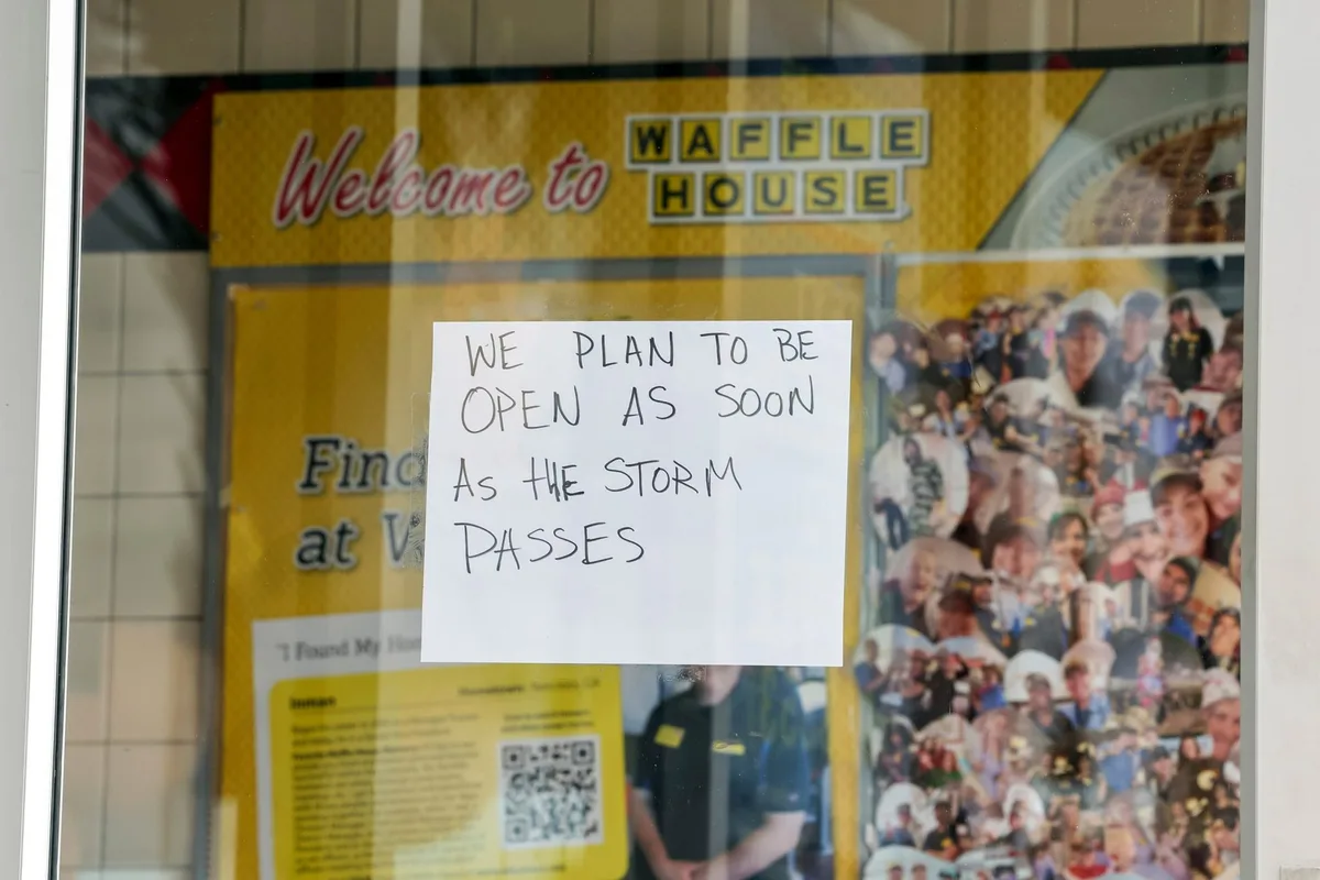
Golden hash browns, gravy-smothered biscuits and crispy waffles with a hearty helping of syrup are among the classic Southern comfort foods.
But when hurricanes tear through Southeastern towns, the hot meals and bold yellow signs of the local Waffle House provide another kind of comfort.
If a Waffle House stays open in town, even in a limited capacity, neighbors are reassured that the coming storm is unlikely to cause devastation.
A closed location of the dependable diner chain has come to indicate impending disaster.
The metric is known as the Waffle House Index.
What might sound like silly logic has become one of the most reliable ways for Southerners — and even federal officials — to gauge a storm’s severity and identify communities most in need of immediate aid.
What is the Waffle House Index? The South’s favorite disaster authority provides an informal measure of how significantly a storm will affect or has affected a community.
A map of the chain’s over 1,900 locations, concentrated in the Southeast and mid-Atlantic, helps residents of storm-prone states assess whether they’re likely to lose power, experience severe flooding or endure other extreme conditions that might cause a resilient restaurant to close its doors.
For some, it’s a telltale sign of whether they need to evacuate.
Waffle House is known not just for serving breakfast 24/7, 365 days a year, but also for its disaster preparedness.
For decades, people across the South have noticed that the local Waffle House seemed to be the only business still open during a storm or the first to reopen after it passed.
The restaurant chain’s reputation for remaining open when people desperately needed a place to warm up, charge devices and grab a hot meal became a fairly reliable — albeit amusing — resource to help track recovery efforts.
The company even operates its own storm center.
How does the index work? Waffle House’s social media shares color-coded maps of its restaurant locations in certain regions that will soon be hit or are recovering from storm damage.
5News aggregated this summary from the outlet’s public feed. The full article, with all the context, is on fortune.com — the content belongs to Fortune.