Expect rain and strong coastal winds across South Africa this Wednesday
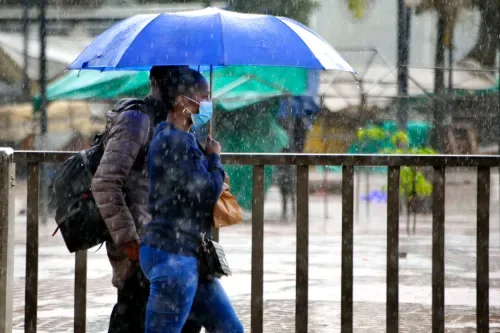
Rain and showers are expected in parts of the eastern and southern coastal regions on Wednesday, while strong winds could create difficult conditions along the coast.
South Africa can expect a mixed weather picture on Wednesday, 26 August, with rain and showers affecting parts of the eastern and southern coastline, while much of the interior remains fine, partly cloudy and warm.
A Yellow Level 2 warning for damaging winds is in place along the coast from Table Bay to Cape Agulhas from the morning, with the hazardous conditions expected to spread eastwards towards Plettenberg Bay during the afternoon. The strong winds could make navigation difficult and disrupt small harbours, ports and beach activities.
In the Western Cape, conditions will be fine to partly cloudy and cool to warm, although it will be hot over the West Coast District. Morning mist is expected over parts of the central and north-eastern interior, while the south coast will be cloudy at first.
Coastal winds will be moderate to fresh from the east and southeast, becoming strong along the south-west and south coasts. Rain is not expected to be widespread in the province.
The Eastern Cape will be among the wetter areas. The western half will be cloudy and cool to cold, with light rain along the coast and adjacent interior.
The eastern half will also be cloudy and cool to cold, with light rain in places along the coast. Rain chances are around 30% in the affected coastal areas. Winds will strengthen during the afternoon, with fresh to strong north-easterlies expected along parts of the coast.
KwaZulu-Natal will be partly cloudy to cloudy and cool, although it will be warmer in the extreme north-east. Isolated showers and rain are expected, with rain chances of around 30%. Morning fog is possible over parts of the interior.
Coastal winds will start as moderate southerly to south-westerly before turning easterly to south-easterly later in the afternoon.
Mpumalanga will see cloudy conditions with isolated showers and rain in the east, where rain chances are around 30%. Elsewhere, it will be partly cloudy and cool to warm, with morning fog patches possible over the southern Highveld.
Limpopo will be partly cloudy and cool to warm, with cloudier conditions over the south-east, while Gauteng will be partly cloudy and warm. The North West will start out fine and warm before becoming partly cloudy during the afternoon.
The Free State will be fine and warm for most areas, although morning fog is expected in the east. Cloud will increase over the extreme north-west during the afternoon.
The Northern Cape will have morning fog patches over the far west, followed by partly cloudy and cool to warm conditions, while the extreme east should remain fine.
5News aggregated this summary from the outlet’s public feed. The full article, with all the context, is on iol.co.za — the content belongs to IOL.