Devastating Nepal floods were triggered by glacier collapse, experts say — and there's a risk of more landslides to come
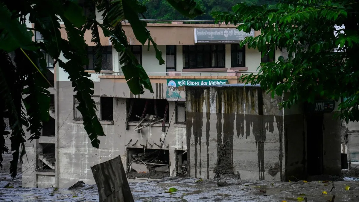
Devastating flash floods near the Nepal-Tibet border have left more than 330 people dead and more than 1,500 missing — including 65 from the U.S. — following a glacier collapse early Wednesday morning (Aug.
26), according to Nepalese authorities and Chinese state media.
Data from a surviving water level gauge shows that the Trishuli River water level surged by 30 feet (9 meters) in just 30 minutes on Wednesday in the municipality of Galchhi, some 20 miles (33 kilometers) west of the Nepalese capital, Kathmandu, the International Centre for Integrated Mountain Development reported.
Videos posted to social media show people fleeing the oncoming wall of mud and water that has destroyed buildings and uprooted bridges .
Meanwhile, authorities have warned the public to stay away from the banks of the Bhotekoshi, Narayani (also called the Gandaki or Gandak) and Trishuli rivers amid concerns of further flooding.
"Although this occurred at the height of the monsoon season, significant rainfall does not appear to have been the trigger," Jon Tunnicliffe , a river science researcher at the University of Auckland in New Zealand, said in a statement to the Science Media Centre .
"Preliminary investigations instead point to a large collapse of glacier ice and rock high above the Lhende Kola [river]." The impact of this glacial material was so powerful that the U.S.
Geological Survey (USGS) initially confused it for an earthquake .
The seismic shock reached magnitude 5.2 — equivalent to a moderate earthquake.
The USGS's subsequent analysis of the seismic waves produced also indicate that the signal was produced by a glacial collapse and debris flow.
Based on satellite images, researchers suspect the ice and rock shed by the glacier entered the Lhende Kola river valley at an elevation of around 17,060 feet (5,200 m), according to Tunnicliffe.
He added that scientists are investigating the possibility that the debris may have temporarily blocked the river before releasing a larger surge downstream.
"That sequence is what geomorphologists call a hazard cascade — instability high on a glacierised slope becomes an ice-rock avalanche; that can block a river, entrain water and sediment, and transform into a debris-laden flood travelling tens of kilometers downstream," Tunnicliffe explained.
These processes are familiar, he said, but the danger comes from the connections between them, turning what may have started as a localized failure upslope turned into a catastrophe for the people far below in the valley.
5News aggregated this summary from the outlet’s public feed. The full article, with all the context, is on www.livescience.com — the content belongs to Live Science.