Maps can be misleading – on purpose – and their story becomes history. The case of Ethiopia
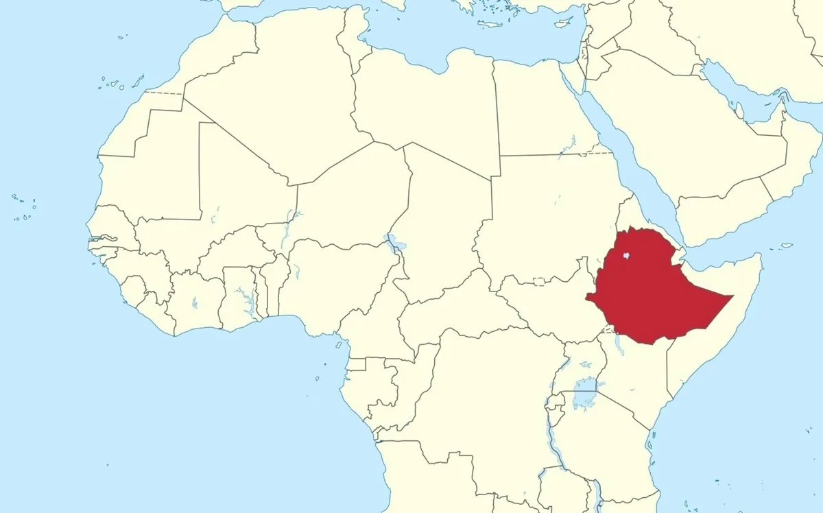
A study of propaganda in Ethiopia examined what happens when the authority of a map meets social media and political conflict.
TUBS/Wikimedia Commons , CC BY Maps are an essential technology of modern life.
They help navigate streets, follow deliveries and track storms.
They’re embedded in election coverage, humanitarian emergencies, military briefings, and development reports.
They underpin the “location intelligence” that governments and businesses use to understand where people, services, risks and opportunities are.
Most of the time, we barely notice them.
Which may be exactly why they’re worth noticing.
Maps carry unusual authority.
Put an argument into a paragraph and readers may question it.
Draw the same argument as a boundary, shade it, add a legend and a date – and suddenly it looks like evidence, even though it could be distorting reality.
Read more: New world map makes Africa look bigger: what’s the fuss about? Cartographers explain The decision by the United Nations to promote fairer world maps is welcome.
But it addresses only one kind of cartographic distortion.
The problem came when a map designed for navigation at sea escaped the ship’s cabin and became a general portrait of the planet, hanging on classroom walls.
It was never designed for that.
5News aggregated this summary from the outlet’s public feed. The full article, with all the context, is on theconversation.com — the content belongs to The Conversation Africa.


