Why NZ should redraw council boundaries to match our connections to the landscape
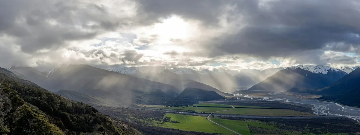
The Waimakariri River basin in the Canterbury Plains.
Michal Klajban (2019) , CC BY-SA As part of a major overhaul of local government , Cabinet is currently considering proposals from local councils on how to carve up regions into new unitary authorities.
The reforms aim to simplify the structure of local government, but they raise questions about the logic behind administrative boundaries.
Currently divided by topographic features such as mountain ranges, rivers or lines drawn around city limits, regions appear to be created more for convenience than connection.
The east coast of the South Island exemplifies this.
Council boundaries in this region run along the centre line (known as the thalweg) of the major rivers crossing the Canterbury Plains, cutting right through the middle of catchments.
We ask the question whether drawing administrative boundaries to match rather than cut through catchments would reflect more meaningful connections to landscape, instead of being seen only through the lens of efficiency.
This is reflected in the plan for South Island council boundaries submitted by Ngāi Tahu , the largest iwi (tribe) in the region.
The plan recognises Te Wai Pounamu (South Island) as a whole and highlights the significance of catchments as defining elements.
Ngāi Tahu proposes a catchment-defined approach to developing five large councils within its rohe (region).
The iwi emphasise the wisdom of shaping boundaries around catchments, explaining it is “simply a better way of managing systems and communities that are already connected.” Two contrasting approaches to administrative boundaries.
One (top) uses rivers as boundaries, while another (bottom) is based on catchments.
Created using ArcGIS by ESRI, with the following sources: Airbus DS, USGS, NGA, NASA, CGIAR, GEBCO, N Robinson, NCEAS, NLS, OS, NMA, Geodatastyrelsen and the GIS User Community, Environment Canterbury, Waimakariri DC, Vantor , CC BY-NC-ND Rivers as connectors, not dividers As landscape architects we see the landscape holistically, always aware of the interlacing of hard physical boundaries such as mountain ranges and soft cultural aspects that shape people’s sense of connection to a place.
A community’s sense of belonging and identity emerge from this complex, intertwined relationship.
5News aggregated this summary from the outlet’s public feed. The full article, with all the context, is on theconversation.com — the content belongs to The Conversation Australia.